Home
About Us
Reference Library
Archived Data
Outreach
O & M
Contact Us
Site Map
Current Conditions
>> Portneuf River at HWY 30 - Trail Station
Portneuf River at HWY 30 - Trail Station
Quick Links
Current Conditions
Further Explore Data
Weather Links
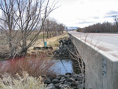
Trail station at U.S. Highway 30 bridge looking east. Portneuf River flows from right to left.
From Here Data for the Past Six Days Can Be Viewed